(Mel Melcon / Los Angeles Times)
By ANITA CHABRIA, SUSANNE RUST, LILA SEIDMAN Los Angeles Times
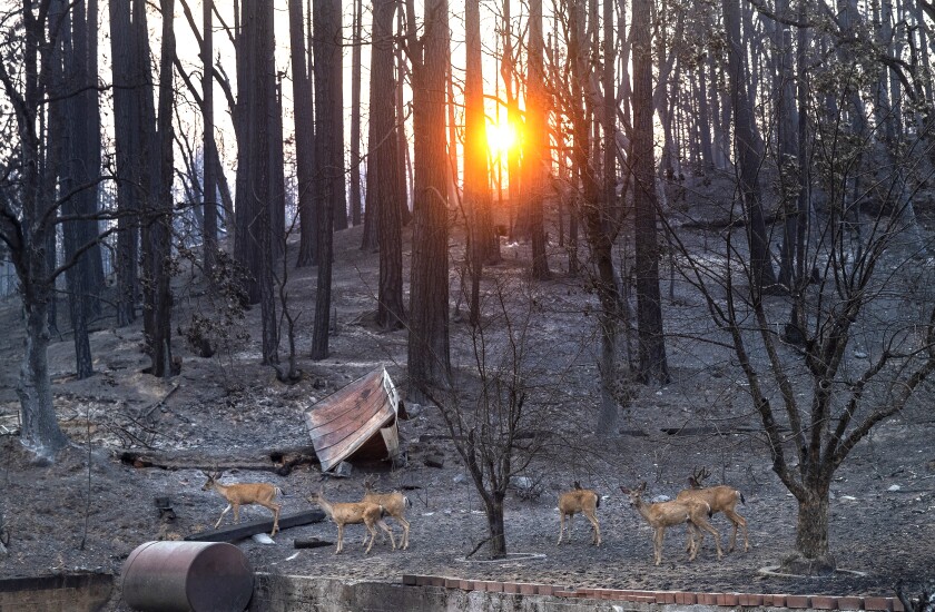
In the burned-out town of Greenville, deep on a Plumas County mountainside, the storms now battering Northern California are another trauma in a year of heartbreak.
“Be careful what you wish for,” Plumas County Supervisor Kevin Goss said Thursday, just off a briefing with state emergency response officials. Torrential rainfall is expected to soften the state’s drought this weekend, but the rain also brings the risk of debris flows and floods in places hit by wildfires.
Don’t miss environmental news like this Click for free updates
“We are going to have some problems,” Goss said. “It was inevitable for this to happen this way. But we will deal with it. We are strong and resilient.”
A large trough of low pressure hovering off the coast of the Pacific Northwest is driving repeated rounds of precipitation in the northern part of California. It ushered in the first major storm of the season Thursday, National Weather Service forecasters said, along with fears that places already hit by the disaster of flames may now be primed for the destruction of downpours.
The storms come after officials announced California’s driest year in a century, but the whipsaw conditions are not totally surprising. Scientists have long warned that climate change could hit the West with quick shifts from dry to wet, and visa versa.
The National Weather Service in Reno has issued a flash-flood watch for a portion of northeast California through Friday morning around the Dixie, Sheep, Walker and Beckwourth burn scars. Another storm expected to move in hours after that is lifted — the worst rains are expected on Sunday, when places like Plumas may see up to 10 inches in a 24-hour period.
Related news coverage:
Cyclone bomb – Seattle to be hit by brutal subzero weather storm that will ‘rival a hurricane’
A ‘bomb cyclone’ of rain, wind headed to Seattle

