From Denise Valenti, Princeton University Office of Communications
In 2012, Hurricane Sandy inundated Weber Avenue in Sayreville, New Jersey, with 18 feet of water. If climate change continues unabated, it will be underwater permanently in less than 100 years thanks to a predicted sea-level rise of 4 to 8 feet.
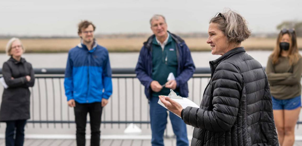
Princeton researchers, students, and community members visited the now-desolate street this week in two groups as part of the High Water Line: New Jersey, a public-facing project initiated and carried out by Christina Gerhardt, the Currie C. and Thomas A. Barron Visiting Professor in the Environmental Humanities in the High Meadows Environmental Institute (HMEI) and visiting associate professor in HMEI and the German department.
Most residents along Weber Avenue and the surrounding streets are long gone, having accepted buyouts offered through New Jersey’s Blue Acres program after Hurricane Sandy. The area is adjacent to the Washington Canal, which connects the Raritan and South rivers not far from Raritan Bay.
Gerhardt brought the groups to the site to physically mark where the Raritan is predicted to claim the surrounding area once sea-level rise reaches 5 feet. Using a liner filled with blue-tinted, water-soluble chalk, they drew a line through the neighborhood, which borders township parks and facilities and where there are a few remaining homes.
“It depends on whether or not we get our act together and reduce carbon emissions,” Gerhardt said. If the planet warms further, she said, the impact will be more profound.
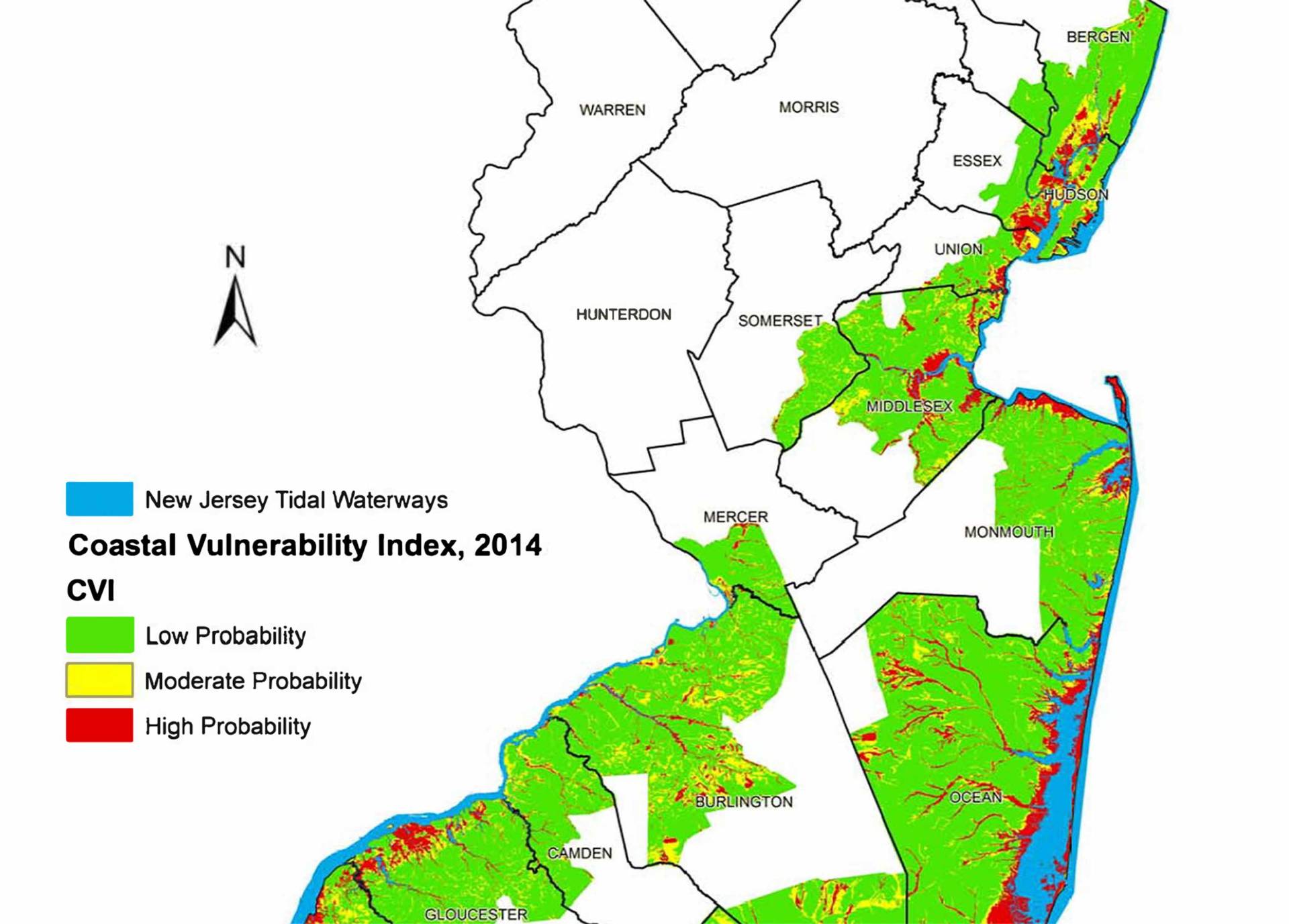
A 2014 map by New Jersey’s Department of Environmental Protection illustrates the vulnerability of New Jersey’s coastal communities to sea-level rise. Map courtesy of New Jersey Department of Environmental Protection
Through the High Water Line project, Gerhardt, founding director of Environmental Humanities at the University of Hawaii at Mānoa, is illustrating the impact of urban sea level rise. In doing so, she hopes to spark curiosity and engagement with the issue, she said.
Since arriving at Princeton in the spring of 2021, Gerhardt has worked with Climate Central, an independent organization of climate researchers and journalists, to create a map of the historic and future shorelines in the region using their Surging Seas software suite. Climate Central’s coastal mapping tool is available for public use to visualize how New Jersey’s coastlines will change with sea-level rise.
Aaron Shkuda, program manager for the Princeton-Mellon Initiative in Architecture, Urbanism and the Humanities and lecturer in architecture, said this week’s “walk-and-chalk” tours of the high water line, as Gerhardt calls them, are “like a living map. You’re moving through the space in order to understand it.”
The science on sea-level rise is clear, but Shkuda said even he feels a weariness from climate change narratives. “You can talk about x number of feet of sea-level rise, but when you actually see where the water might come from in the next five years, or a decade, or 50 years, that makes it all the more real to people and can drive them to action,” he said.
If you liked this post you’ll love our daily newsletter, EnviroPolitics. It’s packed with the latest news, commentary, and legislative updates from New Jersey, Pennsylvania, New York, Delaware…and beyond. Don’t take our word for it, try it free for an entire month. No obligation.