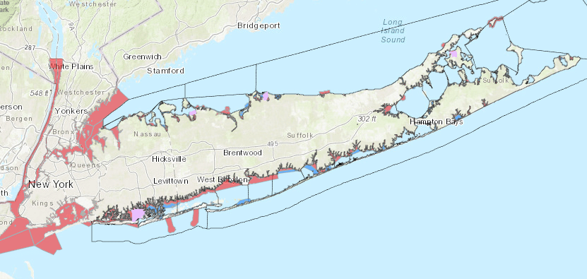
Try the new and easy-to-use DEC Public Shellfish Mapper to find areas that are open to shellfishing. This interactive map shows year-round and seasonal shellfish closures, conditional harvest areas, commercial shellfish harvest zones, aquaculture lease sites, DEC water sampling stations, and more! The Descriptions of Shellfish Closures and Classification Maps (6NYCRR Part 41) are the official regulatory shellfish closures.
Don’t miss environmental news like this Click for free updates